Swift Xi has been selected for Hyogo prefecture's "Advanced Drone Utilization Business" tenders in 2019 and completed in March 2020.
July to September 2019
Pest survey in Kobe city forests
Swift Xi did photogrammetry over the forest park from around July to September, when dead trees appear due to forest diseases and pest damage and extracted trees with a high probability of being dead due to disease and pest damage. Also, the location of dangerous trees that may affect trails when they fall is shown on the map. This survey enabled early detection of dangerous trees near the road and exploration of a vast area in a short time.
.jpg)
Trees suspected being damaged by forest pests in the Kobe City Forest Botanical Garden.
July 2019, February 2020
Port Facility Strength Survey
Tetrapods can prevent damage from high tides. Due to typhoons, maintenance, and repair works are required.
Currently, those repairs can be identified by visual inspection from a ship. We improved the efficiency
of maintenance and repair works using the 3D modeling and ortho maps. The objective of this mission
was to confirm the status of tetrapods along about 6km of the coastline before the typhoon season
arrives, by taking pictures with drones.
This project allowed early detection of tetrapod movement and damage.
.jpg)
3D data of Tetrapod (Coastal area of Kobe City).
January 2020
Landslide Extraction Survey
Swift Xi surveyed to extract the landslide area that occurred in Tamba City, Hyogo Prefecture. We used for this research, a laser beam device, better known as LIDAR (Light Detection and Ranging), which allows accurate measurements of terrain, both in elevation and surface. Accurate ground elevation data is essential for planning countermeasures and preventing landslides and disasters in the future. This survey was conducted by comparing the pre-landslide aerial LIDAR survey data owned by Hyogo Prefecture and the drone LIDAR survey data acquired this time. Even in places where people can't get in, we can see a wide range of terrain in detail.
.jpg)
*CS stereoscopic drawing and coloring the changed terrain
Red: Positive deformation Blue:
Negative deformation.
*This method was devised at the Nagano Prefectural Forestry Research Center in 2012 to make
it easier to decipher the topography.
February 2020
Snowfall research and road facility damage during the impassable winter period
We took videos and photos using a drone on a section of road that was closed to traffic due to heavy
snowfall in winter. Besides, the estimated snow cover was calculated by comparing it with the
pre-snow data owned by Hyogo Prefecture.
Even in areas that were previously difficult to survey due to heavy snow, the use of drones
will make it easier to check the amount of snow accumulation and the damage to road facilities.
.jpg)
Comparison of pre-snow aerial LIDAR survey data and post-snow drone 3D surface point cloud data.
February 2020
Landslides countermeasures research and fallen tree risk survey
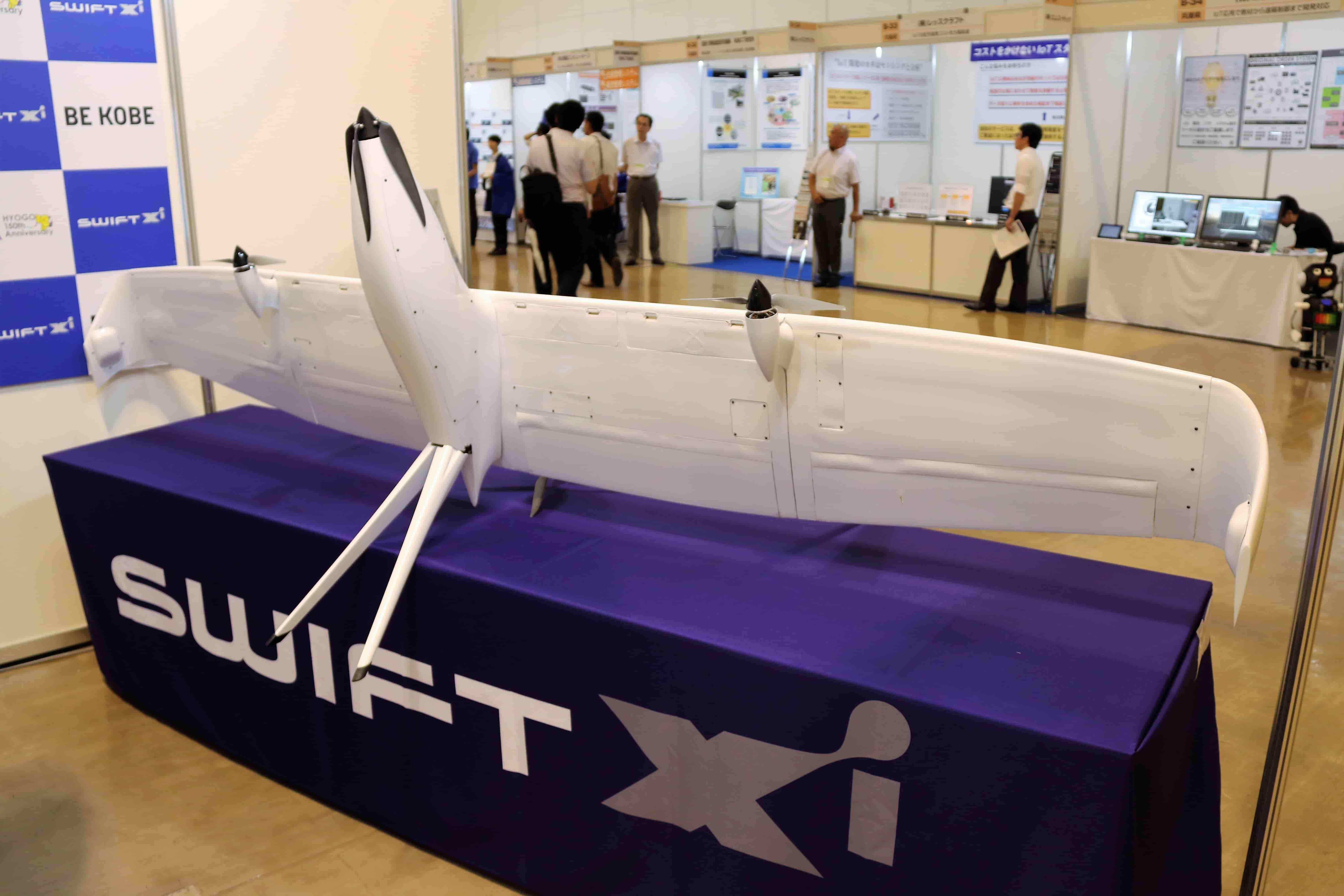
In collaboration with aerospace company Swift Engineering Inc. (SEI), a Swift021 VTOL (Vertical Take-Off
and Landing fixed-wing drone) was used to acquire more than 400 photos and create a photogrammetric
model of a landslide-initiated mountainous area. By comparing it with the data before the landslide,
we were able to understand the deformation of the terrain. We also used a camera with NDVI (Normalized
Difference Vegetation Index) sensor to identify areas with many standing trees that are at high
risk of falling in the future.
As a result, we found large amounts of sediment and standing and fallen trees in places where
access is difficult and where the magnitude of the disaster cannot be seen with the naked eye.
Using this research method is possible to create contingency and prevention plans for future
natural disasters.
.jpg)
Vegetation activity and dangerous trees by NDVI image analysis.
February to March 2020
Ecological research on deer, wild boar and guiding in cormorants
We searched for deer and wild boars using the drone's IR cameras and automatic navigation capabilities and found seven deer. We also succeeded in moving a group of cormorants several times hundreds of meters away. Traditionally, the number of headcounts was predicted based on information on sightings from hunters and traces on the ground, such as footprints and feces. However, the use of drones makes it possible to confirm a wide range of habitat conditions from the air.
.jpg)
7 Deer found.
"Drones can provide significant efficiencies and improvements in work safety compared to traditional methods. Based on the results of these projects in Hyogo Prefecture, we would like to expand such projects to other municipalities across the country," says Swift Xi's COO (Chief Operating Officer), Dr. Nick Barua.